By Darren Vaughan
Communications Director
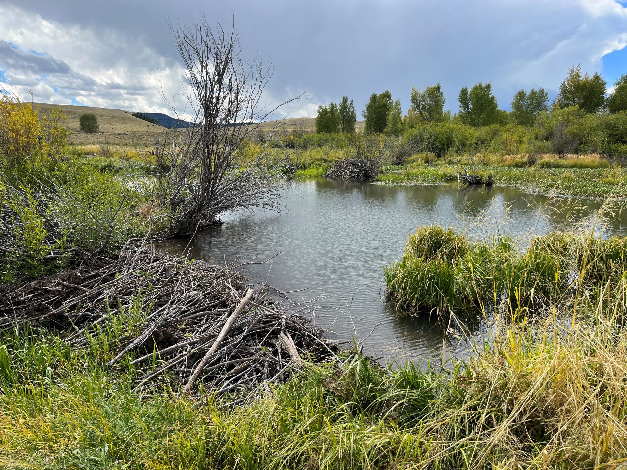
Ten dollars may not seem like much, but the purchase of a Public Land User Stamp helps restore wetlands, reduce wildfire danger and reconnect wildlife habitat across New Mexico.
Created more than 40 years ago, the Public Land User Stamp, formerly known as the Habitat Stamp, has helped turn hunters’ and anglers’ contributions into conservation projects across the state. The $10 stamp supports habitat improvements that benefit trout streams and wetlands, as well as forests and wildlife migration corridors.
The stamp is mandatory for hunters and anglers on federal lands administered by the U.S. Forest Service or Bureau of Land Management. There are exceptions — the stamp is not required for anglers age 11 and under, resident anglers age 70 and older or resident 100% disabled veteran cardholders. That said, even people who are not required to purchase a Public Land User Stamp can see benefits from buying one, as funds generated are used to improve wildlife habitat across the state.
Half of the funding distributed by the program is directed toward wildlife-related projects, while the other half goes to fisheries-related projects.
“Water is an incredibly important resource everywhere, but especially in New Mexico,” said Caitlin Ruhl, habitat program manager for the New Mexico Department of Wildlife. “We’re always looking for projects that improve water availability and habitat. Our goal is to restore high-quality habitat conditions that have meaningful benefits for fish and wildlife.”
Along with the U.S. Forest Service and Bureau of Land Management, the Department also works with its nine-member Citizen Advisory Committee to determine which projects receive priority and, therefore, funding. The committee is made up of volunteers appointed for five-year terms by the State Wildlife Commission.
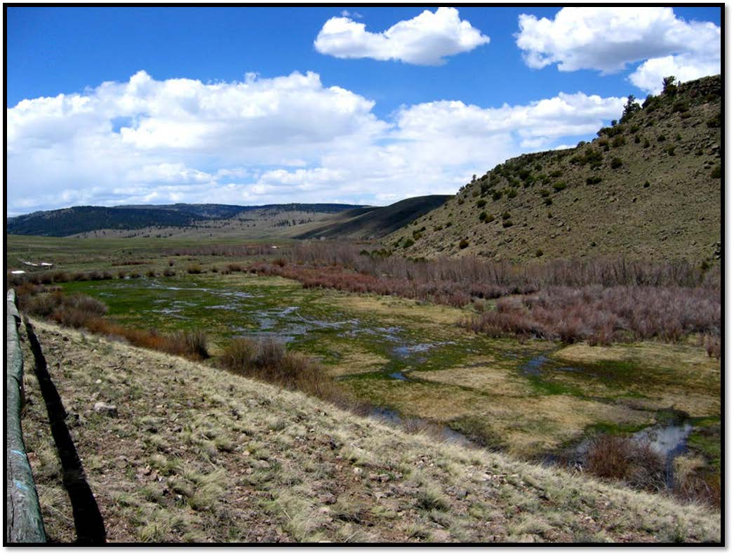
West of San Antonio Mountain along the Rio San Antonio, Public Land User Stamp funding is helping restore a wetland complex that once supported abundant wildlife but suffered decades of habitat degradation. The 600-acre Stewart Meadows property was acquired by the Carson National Forest in 1973, and supports hunting, fishing and wildlife viewing. However, more than a century of logging, railroad and grazing activity took a toll on the area’s riparian habitat.
The degraded wetlands no longer provided the quality habitat that migratory waterfowl and other birds rely on. There was little or no forage for beavers or ungulate species, and with the lack of beavers and their dams came a decrease in the quality of fish and amphibian habitat.
Five years ago, the Department used $600,000 in Public Land User Stamp funding to replace dilapidated net-wire fencing on the property, reducing damage from overgrazing while still allowing wildlife to roam. Statewide, similar projects improve wildlife movement by replacing outdated net-wire fencing with wildlife-friendly designs. These projects allow pronghorn, deer and elk to move freely across seasonal migration routes.
“It may seem like a simple improvement, but problematic fencing is widespread,” Ruhl said. “Those improvements are especially important on the Taos Plateau, where pronghorn, elk and deer make seasonal elevational migrations between habitats.”
The Department and U.S. Forest Service continue to work on solutions to reconnect the property’s historic floodplain, allowing floods to act on the landscape as they did nearly 150 years ago. These efforts also aim to improve water quality and promote the growth of riparian vegetation.
Phase One will use $435,000 of program funds to construct in-stream, riparian and floodplain restoration features along 1 mile of the Rio San Antonio. This money will pay for the purchase of materials, contractor services and reseeding disturbed areas. The work should begin in late summer or early fall 2026.
“It’s incredibly exciting,” Ruhl said. “We’ve spent a tremendous amount of time planning, coordinating with partners, working with contractors and securing funding. By the time implementation begins, it’s rewarding to finally see all that work come together.”
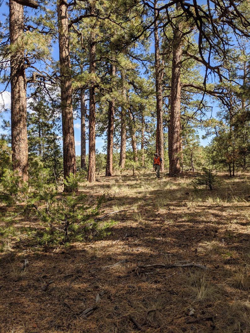
While work on Stewart Meadows is focused on restoring water, another Public Land User Stamp-funded project is aimed at reducing fire risk in the Black Mesa area of Cibola National Forest. Department and Cibola National Forest officials are working with a contractor to conduct the thinning of 700 acres of ponderosa pine forest, making the landscape more resilient to wildfire while also improving wildlife habitat and allowing prescribed burns to be used as a future management tool.
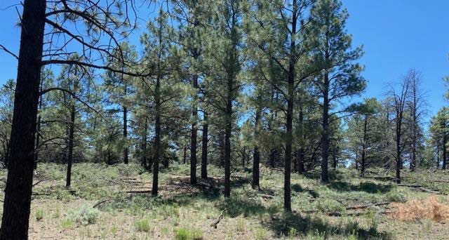
Forest restoration efforts in the Black Mesa area date back more than a decade and will help larger-scale wildlife management with the Marquez/LBar Wildlife Management Area to the south of Black Mesa.
“Anyone who’s spent time working in New Mexico forests understands how devastating catastrophic wildfire can be,” Ruhl said. “We’ve interrupted natural fire cycles. In ponderosa pine forests and other forests that historically experienced fire every two to 15 years, suppressing those fires has created dense stands of trees.
“The thinning work we’ve been doing at Black Mesa for about the last five years is intended to make the landscape more resilient,” she added. “It creates openings in the forest, allows more sunlight to reach the understory and improves grasses and forbs that wildlife depend on.”
The Black Mesa project is part of a broader investment in forest restoration across the state. The program is investing approximately $750,000 in forest restoration and fuel management projects across the Cibola, Carson and Santa Fe national forests.
These funds will benefit more than 4,000 acres across the three forests thanks to the elimination of potentially dangerous undergrowth and the introduction of new growth to benefit wildlife.
From restoring streams and wetlands to reducing wildfire risk and improving wildlife migration corridors, every Public Land User Stamp purchase helps conserve New Mexico’s wildlife and wild places for future generations.
Visit the Public Land User Stamp page on Department’s website for more information on the program, its history and past projects. The page has recently been revamped and includes an interactive map of all lands where the stamp is required, as well as past reports and recordings of previous Citizen Advisory Committee meetings.
To purchase your stamp, visit the Department’s Online Licensing System or come to a Department office or license vendor.