Hunting Lands, Programs, and Maps
The state of New Mexico offers a wide variety of lands from mountain to desert for hunting and fishing recreation.
Learn more about access to federal lands, Native American lands, New Mexico state lands, and private lands.
See also Land Access Rules.
Quick Links: Maps
Written Permission
New Mexico law requires written permission be obtained prior to hunting, fishing or trapping on private property. Violations are a misdemeanor offense which can result in revocation of hunting and fishing privileges for three years. It is the sportsman/woman’s responsibility to know the law and his/her location at all times.
The Department encourages all hunters and anglers to use this courtesy card. By exchanging information the sportsman/woman establishes clear communication with the landowner, records permission and provides the name(s) and vehicle description(s) allowed access.
Always respect the private property of landowners.
NM E-Tag
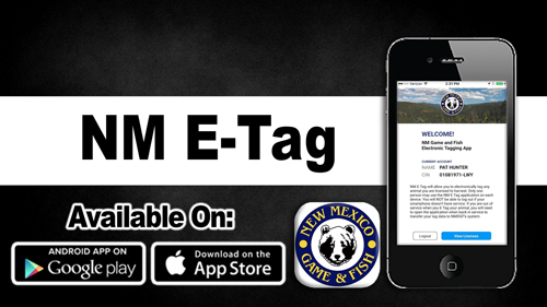
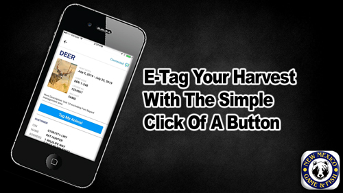
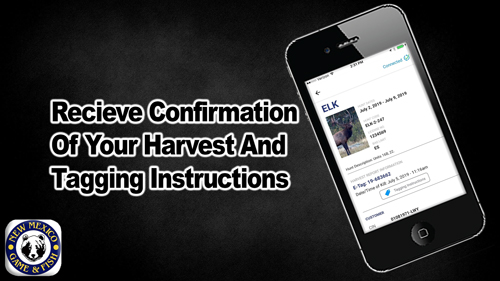
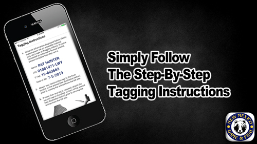
![]() NM E-Tag allows hunters to tag an animal in the field using their smartphone. Upon submitting the date and time of kill for their license, the hunter will receive a tag number to hand-write on durable material to be attached to the animal.
NM E-Tag allows hunters to tag an animal in the field using their smartphone. Upon submitting the date and time of kill for their license, the hunter will receive a tag number to hand-write on durable material to be attached to the animal.
Installation: Search for “NM E-tag” in the App Store or click the icon below:![]()
![]()
