Digital Tools (Maps, Apps, and More)
Discover more on your New Mexico travels with interactive maps, mobile apps, and downloadable files. This page is your jumping point for a wealth of digital content across the NMDGF website.
Interactive Maps & Files
Browser Maps
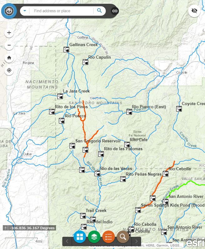
The following interactive browser maps includes on/off layer such as GMU borders and more.
Download PDF Maps
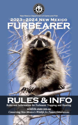
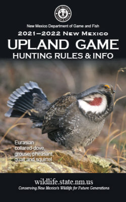
Download PDF Pubs
See more NMDGF Publications, including New Mexico Wildlife magazine https://wildlife.dgf.nm.gov/home/publications/magazine/.
Email Notification
Mobile Apps
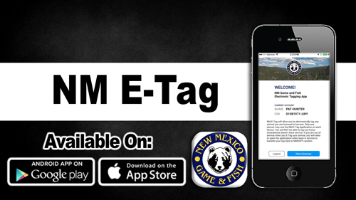
NM E-Tag
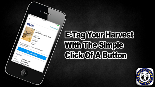
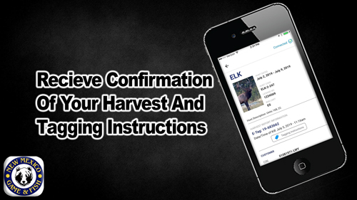
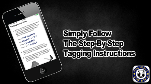
![]() NM E-Tag allows hunters to tag an animal in the field using their smartphone. Upon submitting the date and time of kill for their license, the hunter will receive a tag number to hand-write on durable material to be attached to the animal.
NM E-Tag allows hunters to tag an animal in the field using their smartphone. Upon submitting the date and time of kill for their license, the hunter will receive a tag number to hand-write on durable material to be attached to the animal.
Installation: Search for “NM E-tag” in the App Store or click the icon below:
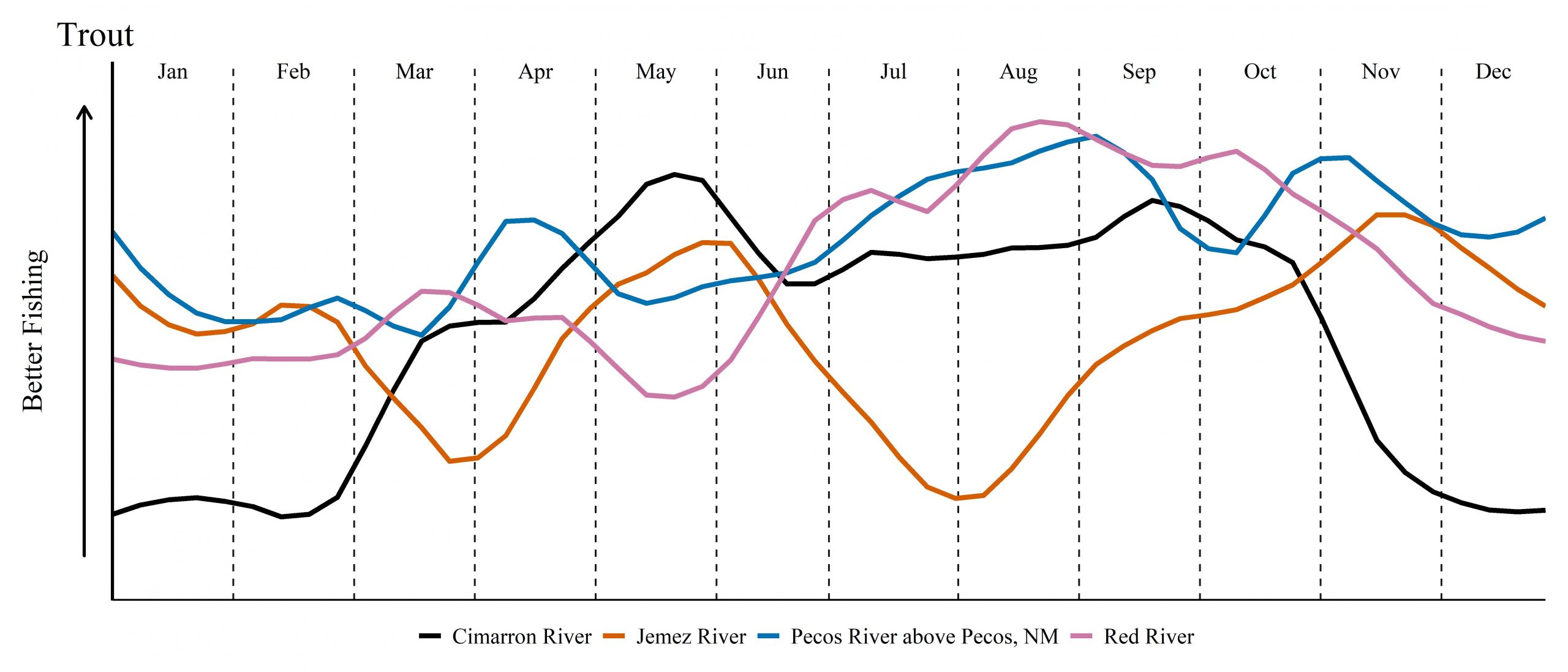
Fishing Conditions & Trip Planner
